


, Government of India, is implementing a range of schemes and programmes for the holistic development of the fisheries and aquaculture sector across the country, including Balasore District of Odisha")


By Our Correspondent
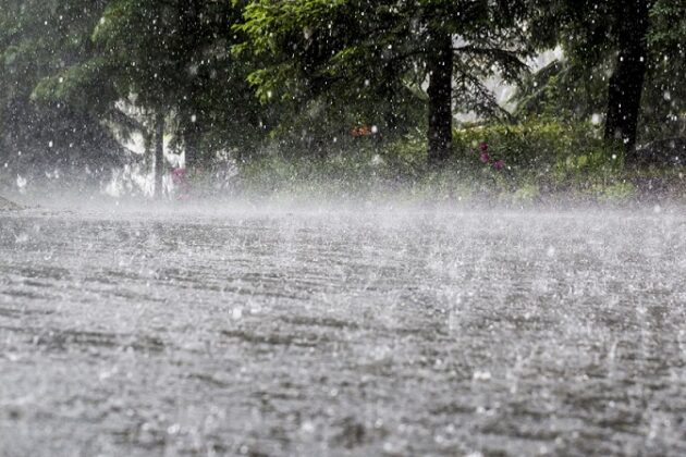
BHUBANESWAR: The low pressure area formed over the south-east Bay of Bengal off the Tamil Nadu coast had intensified into a depression and could turn into a cyclonic storm, SOA’s Centre for Environment and Climate (CEC) said on Friday.
Models indicate that the system would further intensify into a cyclonic storm, about 400 km east of Tamil Nadu, on the afternoon of December 3 and move in a north-westerly direction and cross south Andhra Pradesh coast near Machilipatnam on December 4 night or early morning of December 5, a CEC bulletin said.
The system would subsequently change its direction of movement to north-northeastwards over land along the Andhra Pradesh coast.
Under its influence, the south Odisha districts of Koraput, Malkangiri, Rayagada, Gajapati and Ganjam might experience wind speed of 75 km per hour on December 5. As a consequence, moderate to heavy rainfall might occur in these districts along with districts of Kandhamal, Kalahandi and Nawarangpur, the bulletin said.
These districts could experience heavy to very heavy rainfall on December 5 and 6 while moderate to heavy to very heavy precipitation is likely at one or two locations in the districts of Khurda, Nayagarh, Puri, Cuttack and neighbouring areas between December 5 and 7, it said.


