By Our Correspondent
BHUBANESWAR: The low pressure area formed over South Andaman Sea is expected to intensify gradually till Wednesday and could turn into a cyclonic storm, SOA’s Centre for Environment and Climate (CEC) here said on Wednesday.
The system may undergo rapid intensification on December 3 afternoon and turn into a deep depression but if conditions remained favorable it could take the shape of a cyclonic storm close to the north Andhra Pradesh coast on December 4 morning, a CEC release said.
It would move along the Andhra coast towards south Odisha and is likely to cross the coast in Ganjam district on December 4, it said adding thereafter, it might weaken and move parallel to Odisha coast up to Balasore district and then enter West Bengal.
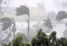
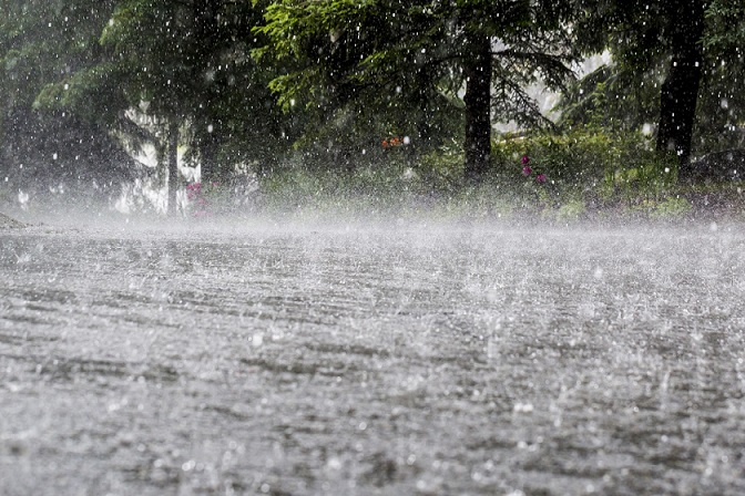
The storm’s wind speed may vary between 75 to 85 km per hour on December 4 and then gradually decrease to 45 to 55 km per hour till it reached Balasore coast. Under the influence of the system, rains are expected to start along Odisha coast on December 3 forenoon but several coastal and interior districts might experience very heavy rainfall between December 3 and 5.
The rainfall may be more than 250 mm in several places across the districts of Puri, Jagatsinghpur, Nayagarh, Khurda, Cuttack, Kendrapara, Jajpur, Balasore, Bhadrak, Mayurbhanj, Keonjhar, Angul and Dhenkanal. The cities of Bhubaneswar and Cuttack could experience strong winds with speed reaching 45 to 55 km per hour on December 4 with heavy precipitation beginning the previous evening.
The interior districts likely to be drenched include Rayagada, Kandhamal, Boudh, Sambalpur and Deogarh, the release said adding the entire state would experience rain of varying intensity for 48 hours from December 3 night depending on the location of the centre of the system.


