By Our Correspondent
BHUBANESWAR: A well marked low pressure area lay over central Bay of Bengal and is likely to move in a northwesterly direction, SOA’s Centre for Environment and Climate (CEC) said on Friday.
It was expected to lie over north west Bay of Bengal in the evening of Saturday and intensify into a depression over the same area on Sunday, it said.
The remnants of Yagi cyclone over South China Sea is expected to merge with this system over West Bengal and Jharkhand on September 10 or 11 leading to the formation of a deep depression over land.
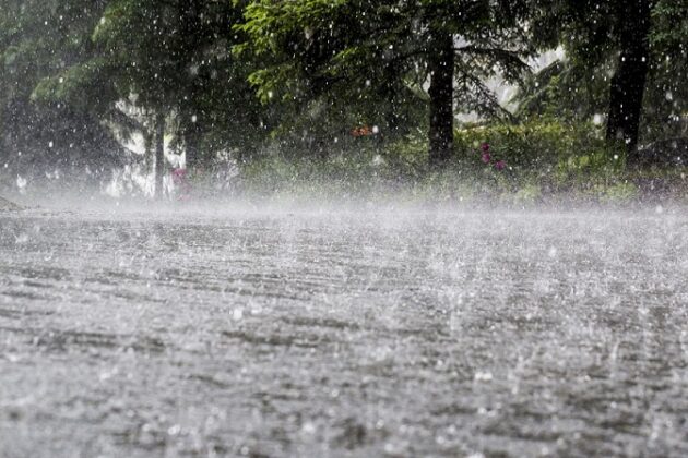
Under its influence, light to moderate rainfall will continue over coastal districts but its intensity would increase from Saturday with increasing rainfall distribution over interior Odisha.
The system may remain stationary over north Odisha-Jharkhand-north Chhattisgarh between September 12 to 15. As a result, heavy to very heavy rainfall might occur during period over western Odisha, Chhattisgarh and Jharkhand, it said.


